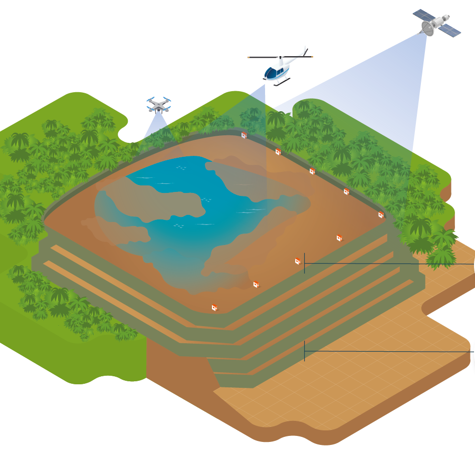
Satellite Mapping
We harness the unique capabilities of Earth Observation satellites to address a diverse range of challenges faced by the Energy, Mining, Engineering, Environment and Defense sectors.

EARTH OBSERVATION EXPERTISE TO BRIDGE THE GAP BETWEEN SATELLITE OPERATORS AND BUSINESSES
We have a spectrum of products and domain Earth Observation expertise, catering to a wide variety of markets and end users. From one-off projects to end-to-end we offer remote sensing solutions and tools to easily integrate with your organization.

Satellite Imagery Provision
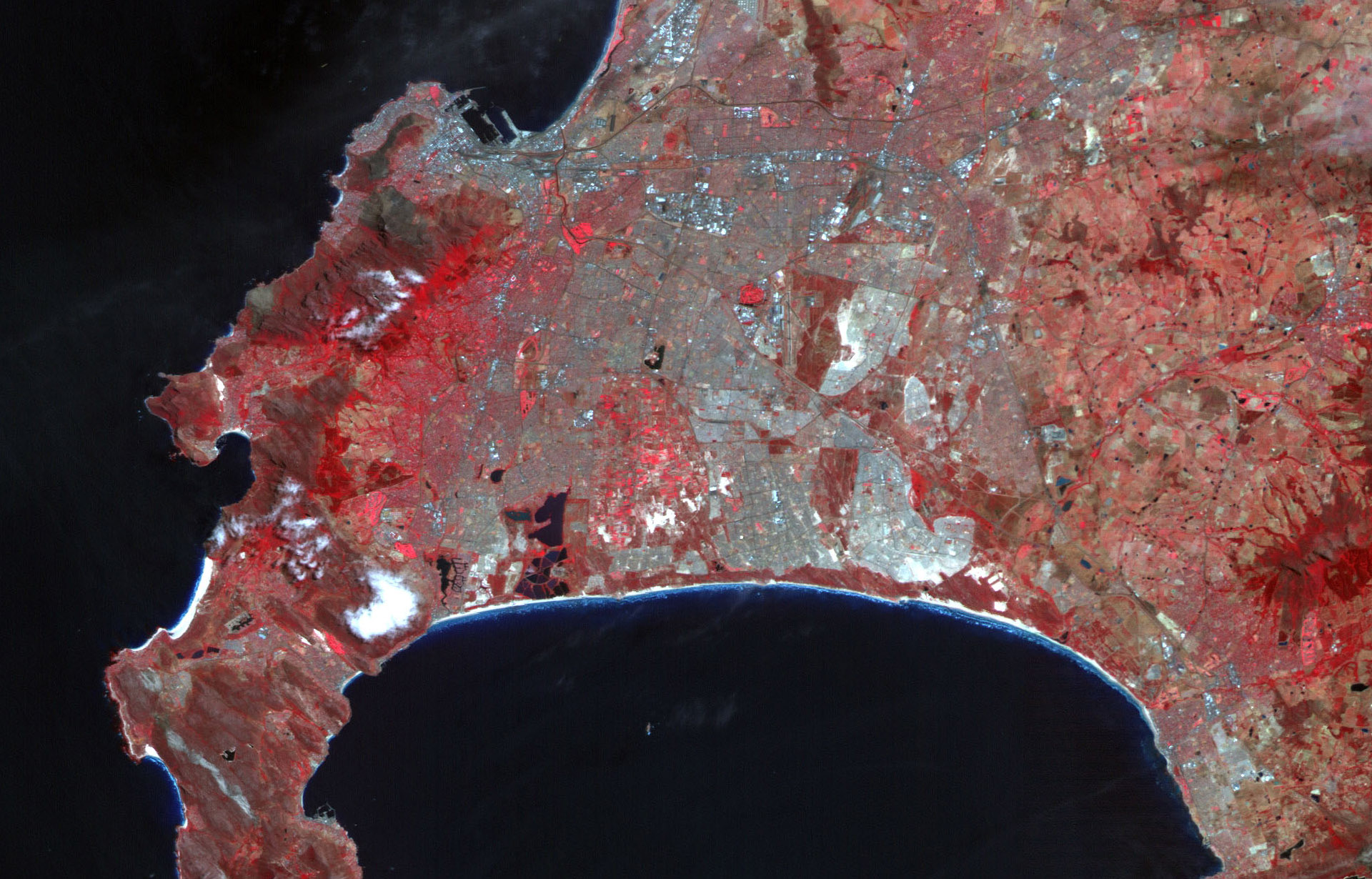
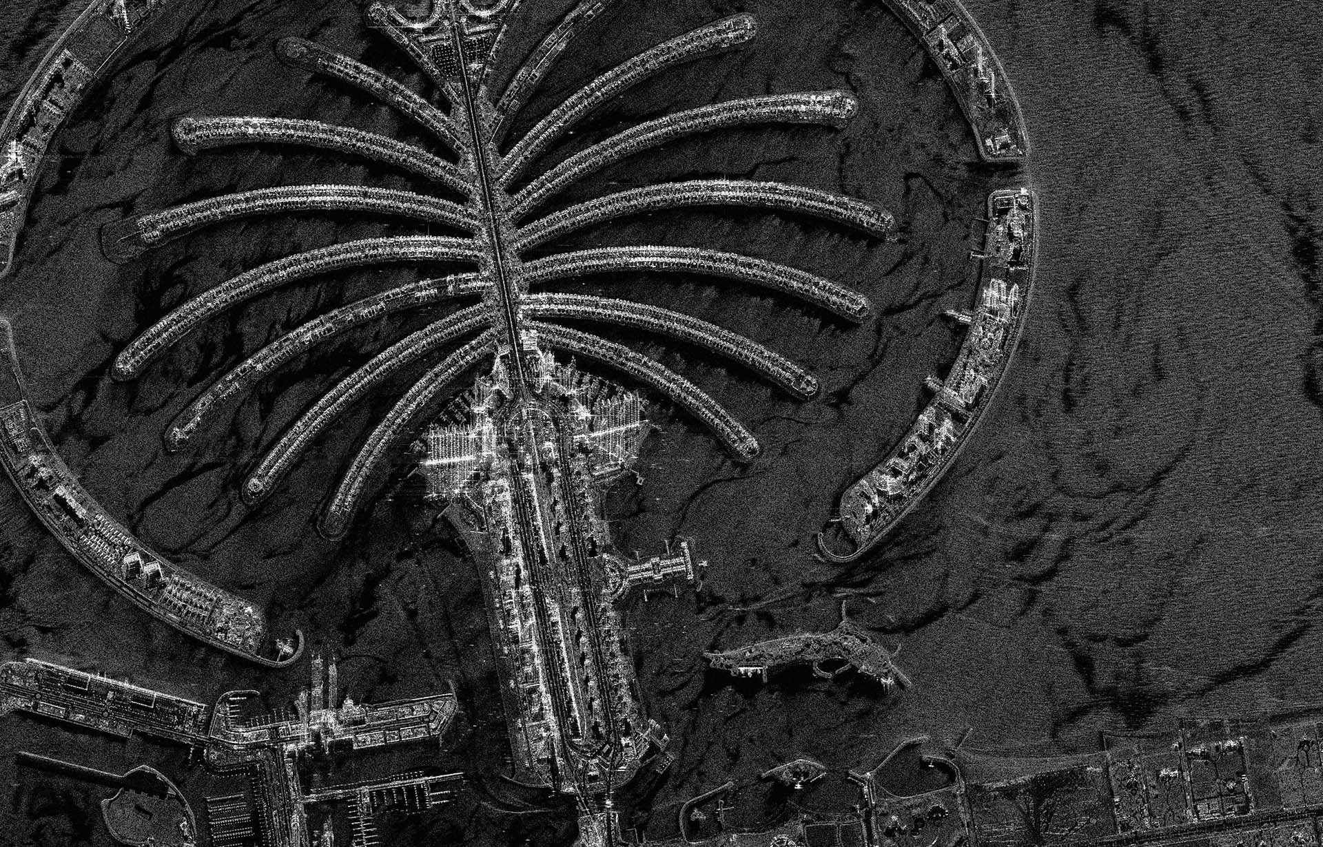
We can sell you unedited or corrected imagery for you to interpret and use.

Satellite Data Solutions
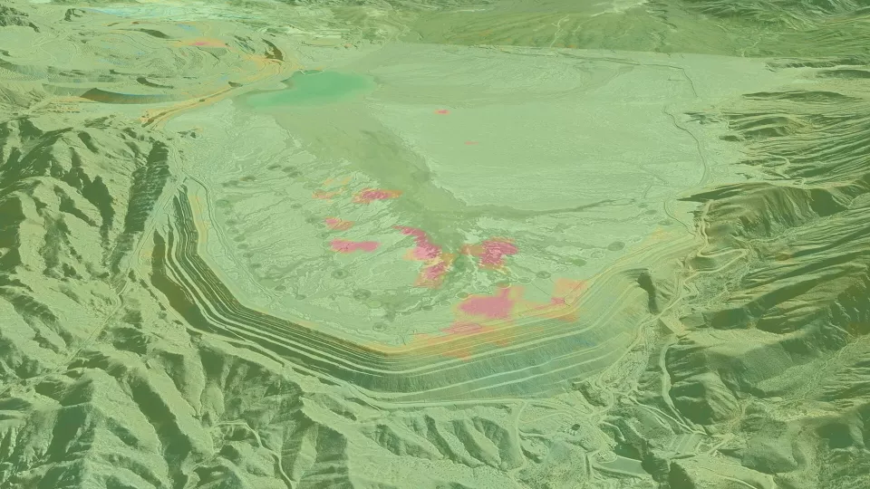
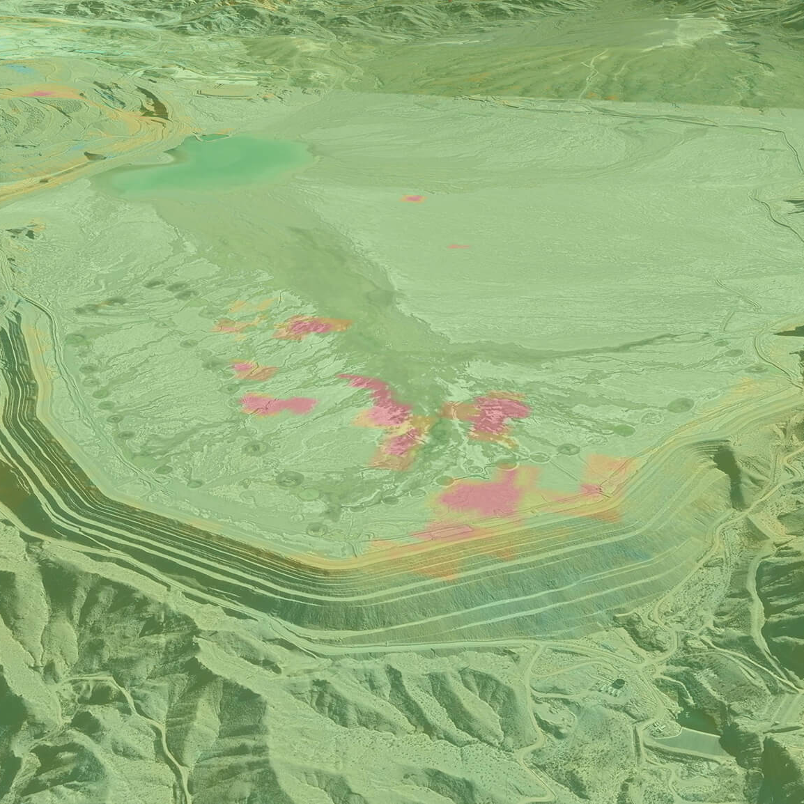
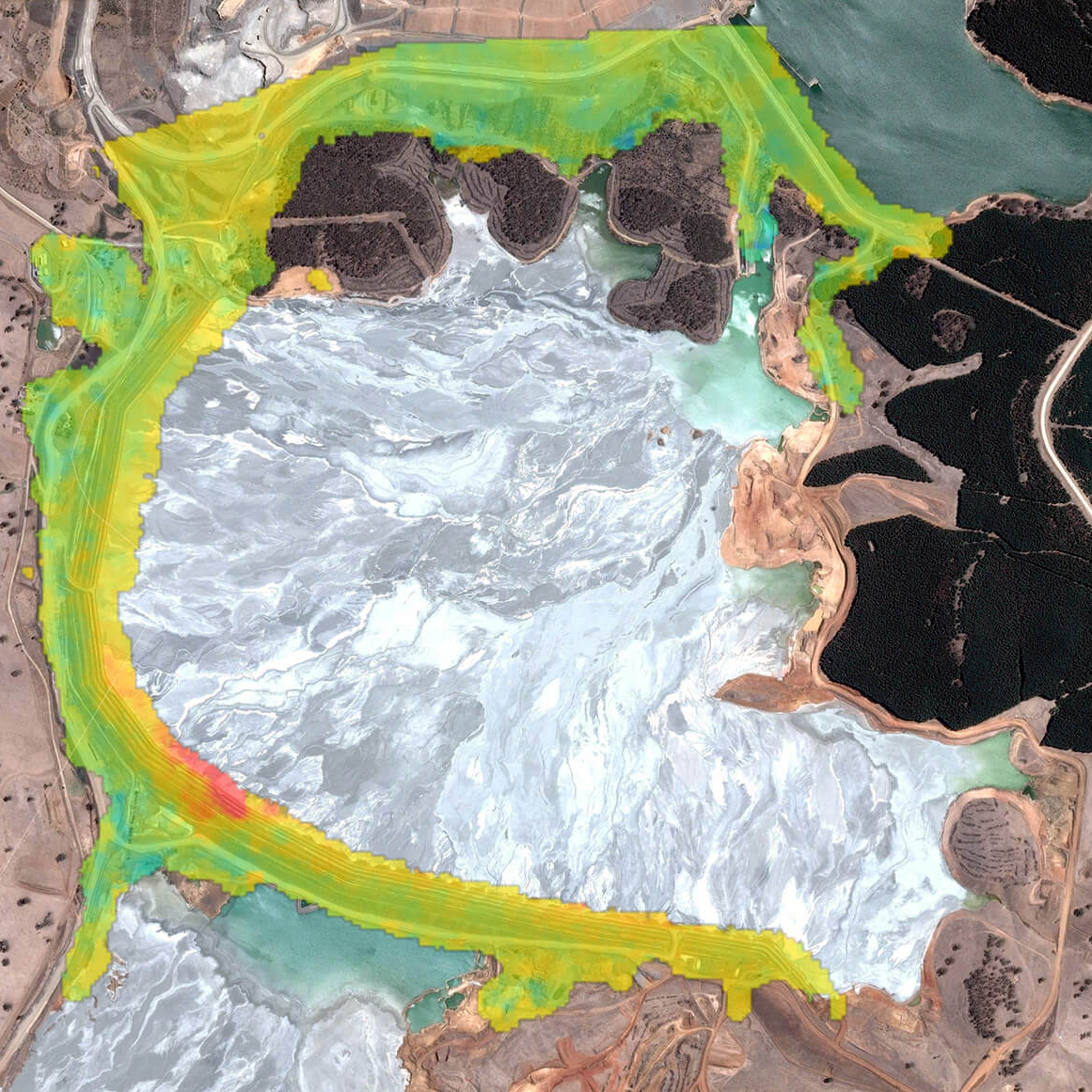
Select your industry and explore our tailored satellite data solutions.

Satellite Data Tools
Software tools that empower you to make the most of satellite data.


GET IN TOUCH
Our knowledge and experience provide an easy means of navigating the increasingly complex world of satellite imagery and elevation data. Our status as an independent supplier for satellite operators around the globe guarantees comprehensive and impartial advice, every time.
SATELLITE DATA SOLUTIONS

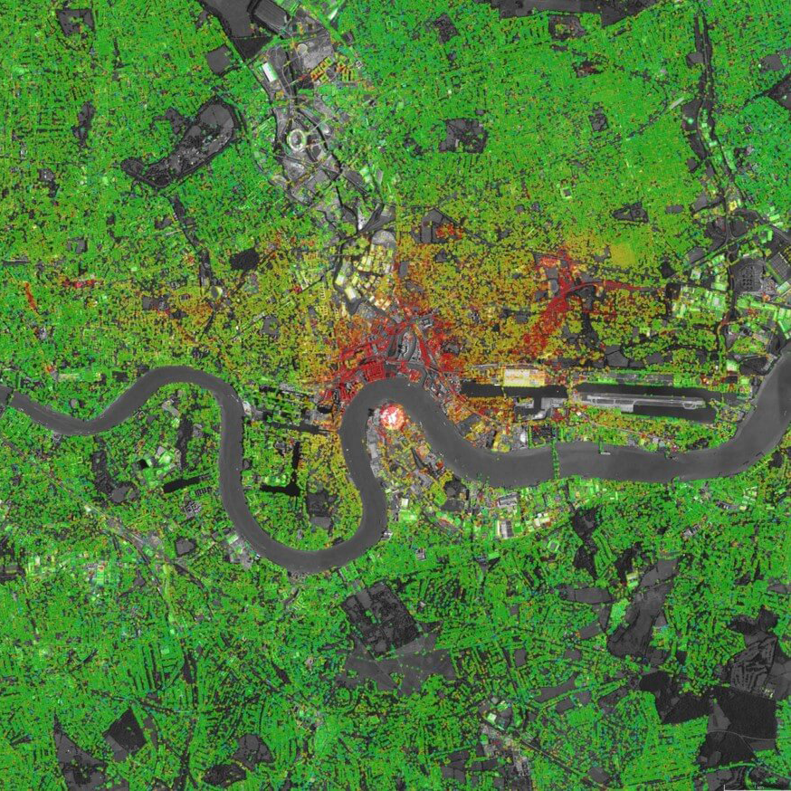
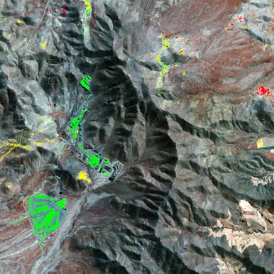


THE BEST IMAGERY AND ELEVATION DATA PROVISION
Unedited or corrected imagery for your interpretation and use.


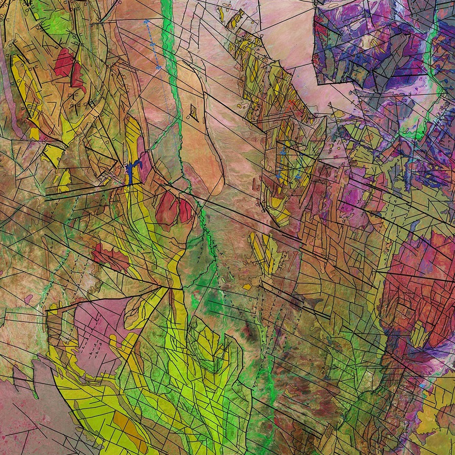
SATELLITE DATA TOOLS
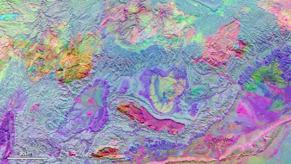
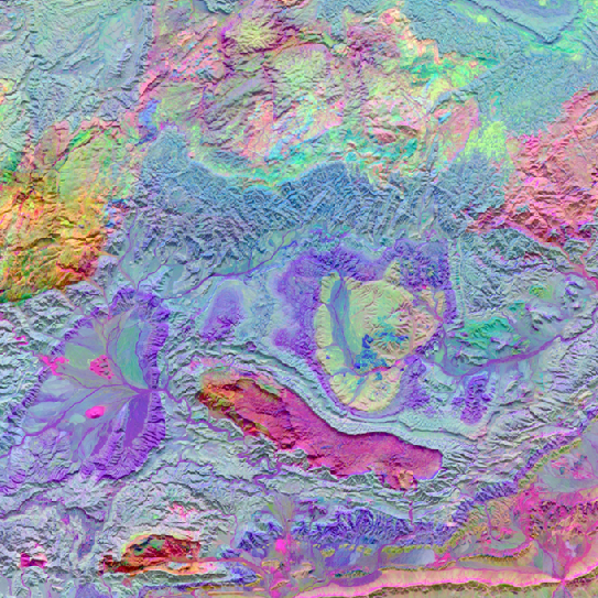
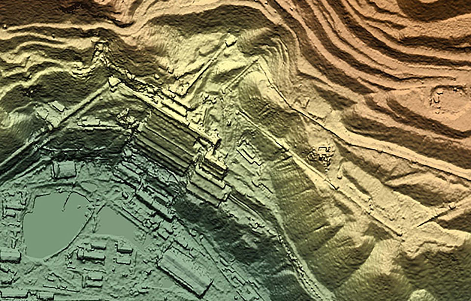
We create and supply digital elevation models (DEMs) at a range of resolutions from a variety of sources.


