Bathymetry
Efficient and non-invasive shallow water depth estimation
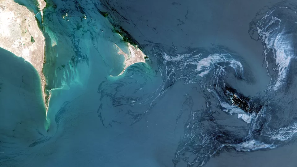
Satellite remote sensing offers a cost-effective, non-invasive method to quickly estimate shallow water bathmetry, guiding and optimizing future survey efforts.
For coastal projects in the planning phase or where direct access is challenging, multispectral satellite imagery provides a reliable means to assess shallow waters. This approach helps identify hazards that may not be reflected on outdated hydrographic charts. While these results are not intended for navigation, they offer a comprehensive and continuous scan of the area, ideal for preliminary assessment.


Identify challenges, plan accordingly
Satellite-derived bathymetry is invaluable in:
- Identifying uncharted hazards
- Delineating intertidal zones
- Characterizing seabed composition
- Planning detailed survey methods
- Estimating project costs and required equipment
In areas with high sediment concentrations or strong currents, Synthetic Aperture Radar (SAR) data may be employed to complement optical data.

A multispectral approach improves accuracy
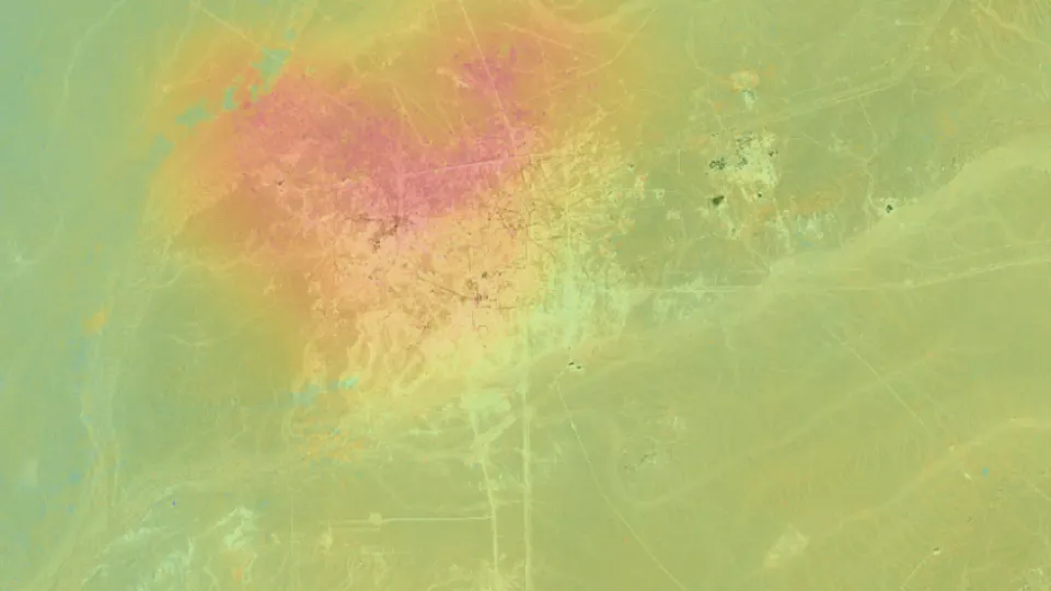
We use advanced spectral analysis and modeling techniques to estimate water depths based on seabed reflectance. While our methods are continuously refined, certain environmental factors—such as atmospheric conditions, sun glint, and seabed vegetation—can affect accuracy. To mitigate these, we analyze multi-date imagery to address transient effects.

Map offshore hazards with enhanced optical satellite data
In regions where traditional spectral analysis is not feasible, we enhance optical satellite imagery to accurately map submerged hazards like shoals and coral pinnacles, ensuring safer navigation and project planning.
For a proactive, technology-driven approach to planning and risk management throughout survey life cycles, our Survey Hazard Risk monitoring service leverages a multi-sensor approach for enhanced accuracy throughout the life cycle of marine seismic and other surveys.
GET IN TOUCH