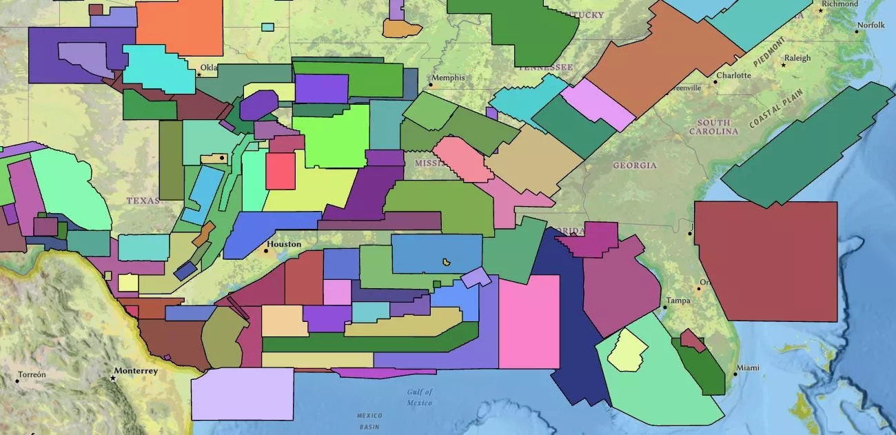
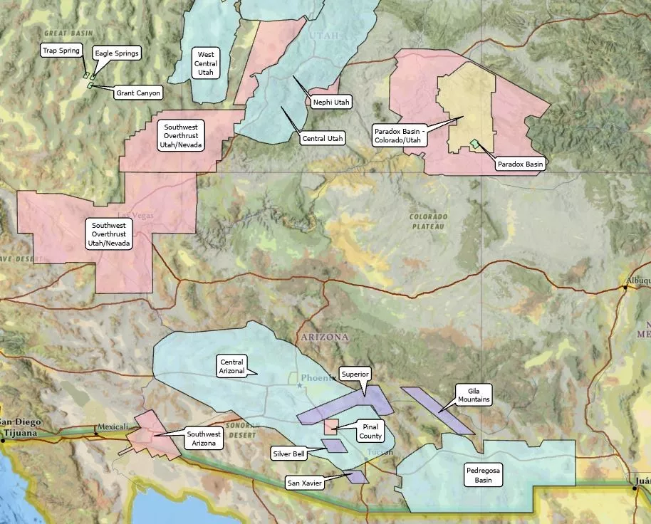
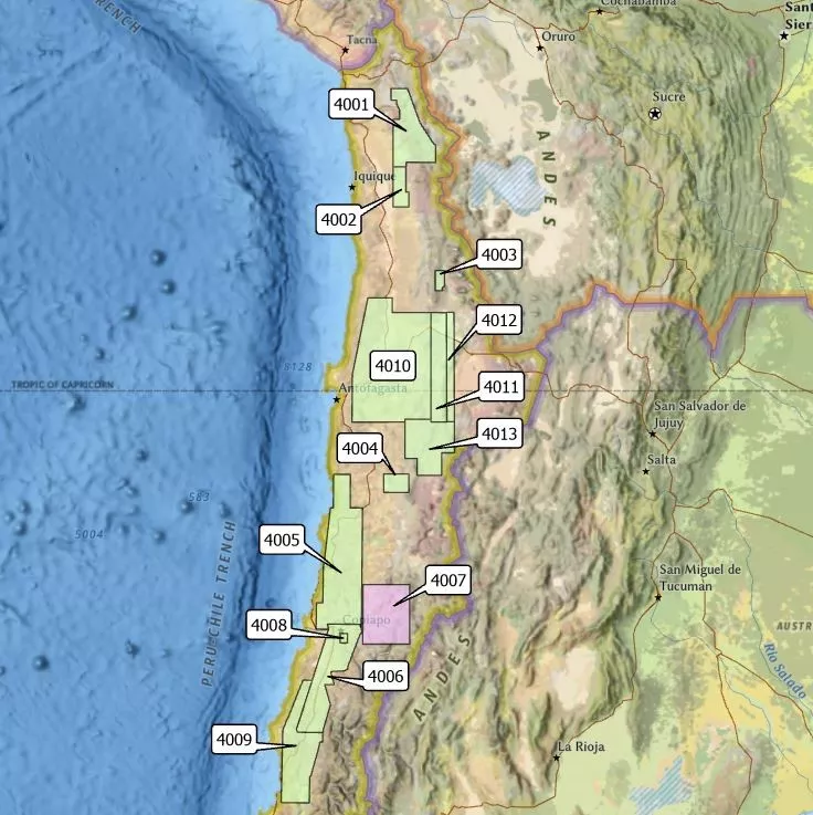
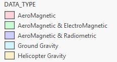
Save time and costs associated with proprietary acquisition, as well as HSE risk, permitting and regulatory hurdles, with Viridien’s off-the-shelf multi-client gravity, magnetic, radiometric and electromagnetic data. We leverage our experience and expertise to reduce data procurement timelines so you can start exploring basin structure and tectonics faster. Our team swiftly facilitates any request for processing, interpretation or integration of your data purchase.

Gravity and Magnetics Data Library
Our global database includes 700+ surveys and incorporates approximately:
- 16,000,000 line-kilometers of aeromagnetic data
- 1,800,000 land gravity stations
- 1,800,000 line-kilometers of marine gravity data
- 1,400,000 line-kilometers of marine magnetic data
- 638,000 line-kilometers of airborne gravity and airborne gravity gradiometry data
- 116,000 line-kilometers of electromagnetic data
Data may be licensed for entire surveys or for a specific area of interest.
Data for Multiple Industries

Access the Viridien GravMag App
Our full suite of gravity, magnetic, radiometric and electromagnetic multi-client data is available for review and interaction via ESRI’s ArcGIS Online Platform (AGOL) via our GravMagApp, which can be accessed through your standard web browser.

Need more info?
Reach out to request a quote for data in your area of interest, a shapefile or coordinates, or data coverage information for a specific area.


