Orange Basin, Namibia
Recent discoveries highlight new potential
Exploration in offshore Namibia is still at a nascent stage. So far, it has been focused on the shallow water areas where a working hydrocarbon system has been proven in the Kudu gas field. However, the recent announcement of light oil discoveries at Shell’s Graff-1 well (PEL 39) and TotalEnergies Venus-1X well (PEL 56) challenges existing ideas and opens the possibility for as-yet-untested plays in the deepwater Orange Basin.
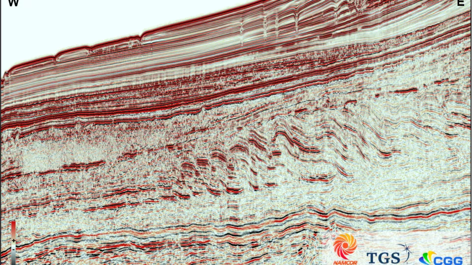
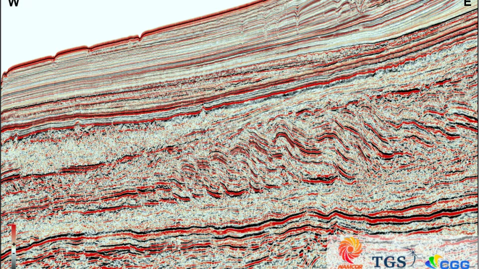
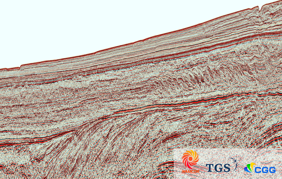
Viridien, in partnership with the National Petroleum Corporation of Namibia (NAMCOR) and TGS, has over 8,000 line km of high-quality, regional, long offset 2D seismic data acquired in 2012 and further broadband reprocessed in 2018 to build a regional understanding and de-risk this potentially prolific hydrocarbon margin.
De-risk exploration with 2D long-offset seismic data
Namibia’s offshore basins were formed in a passive volcanic margin setting during the separation of the African and South American plates. The Orange Basin has been divided into three main tectonic megasequences: syn-rift, transition, and post-rift containing the Cretaceous and Tertiary megasequences. The first Namibian offshore exploration well, Kudu 9A-1, discovered a significant hydrocarbon accumulation of gas reserves between 1.3 and 3 TCF in lower Cretaceous sandstones intercalated with volcanic layers. Since the Kudu discovery, only 14 offshore wells have been drilled across the entire Namibian margin. Potential source rocks have been identified as Late Jurassic-Neocomian lacustrine source rocks, Barremian-Early Aptian restricted marine source rocks and marine Cenomanian-Turonian source rocks. The reservoirs include Barremian-Hauterivian aeolian sandstones intercalated with volcaniclastics and shaly limestones (the Kudu gas field), Aptian basin floor fans, and marginal marine/fluvial sand deposits within the syn-rift section.
The SCOB-12 data set provides detailed imaging of the syn-rift and post-rift structures that enable identification and mapping prospects and significantly de-risking exploration in a largely underexplored basin.

Highlights
- SCOB-12 survey acquired in 2012 and broadband reprocessed in 2018
- 8,157 km of 2D seismic data over both held and open acreage
- Full imaging of the syn-rift and post-rift structures enables the identification, mapping and de-risking of prospects
- Deliverables include broadband products:
- PSTM CDP gathers, full offset stack, angle stacks (depending on the vintage), and velocities
Namibia SCOB-12 2018 Broadband Reprocessing


Request a Shapefile
Learn more about our multi-client library coverage. Request a zipped shapefile (.shp) for your region of interest.
Related Surveys
East Africa Regional Survey
Link discoveries offshore East Africa with our long-offset 2D multi-client data that spans several basins.
South Africa
Investigate the oil and gas potential of the Durban and Zululand basins off the east coast of South Africa with 2D BroadSeis™ data.
Gabon
Explore Gabon’s prospective South Basin with 3D broadband multi-client seismic data and complementary long-offset 2D data.
Explore available multi-client data using our interactive map.
Explore the GeoStore


